History
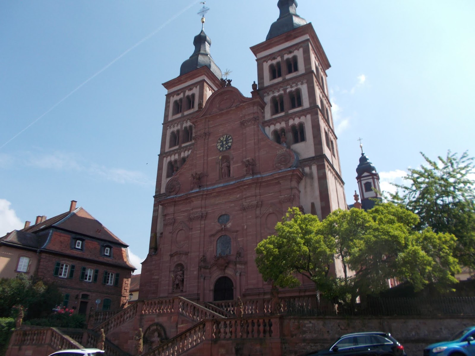 |
| The Abbey Church at Amorbach |
The town began life as a Benedictine monastery during the Carolingian Period of Frankish rule in 734, and from that point, eventually grew into a settlement that was elevated to the status of a city in 1253. Today it is a popular tourist hot spot with, not only a charming old town, but also beautiful remnants of its important ecclesiastical past.
The Carolingian rulers who founded monasteries at that time did so, not only for religious purposes, but also as a way to control areas under their jurisdiction, often scarcely-populated areas of dense forest, and the area around Amorbach was no exception. In addition to Amorbach, the Carolingians also established three other monasteries in the region: Lorsch, Fulda and Mosbach.
 |
| St. Pirmin By Alex - https://commons.wikimedia.org/ w/index.php?curid=309997 |
The legend continues with the assertion that it was a disciple of Pirmin, an Aquitanian called "Amor", who moved the monastery to its current location in 734. Though who set up the abbey is uncertain, we do know that by 800 it had become an imperial abbey under the direct jurisdiction of the emperor, who at that time was Charlemagne.
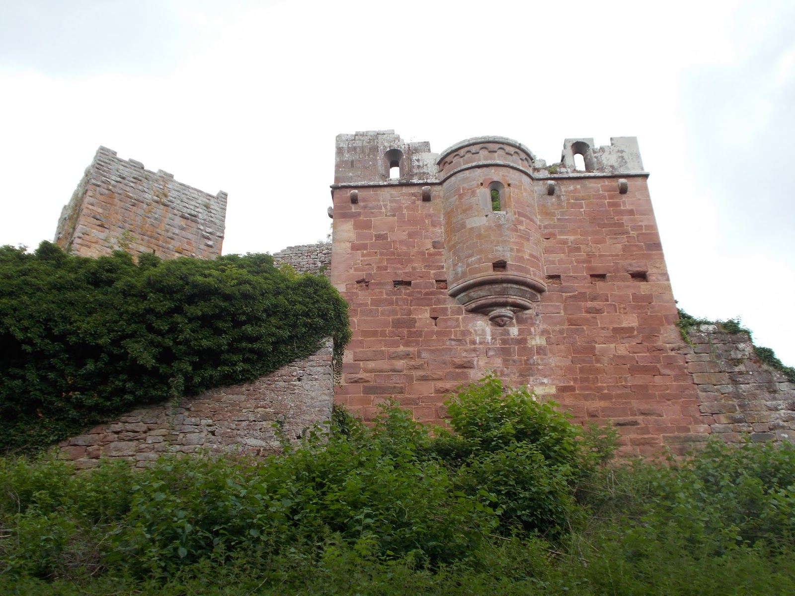
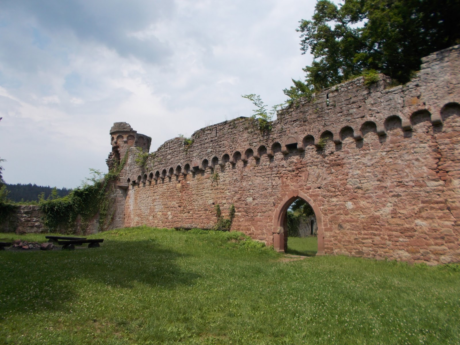
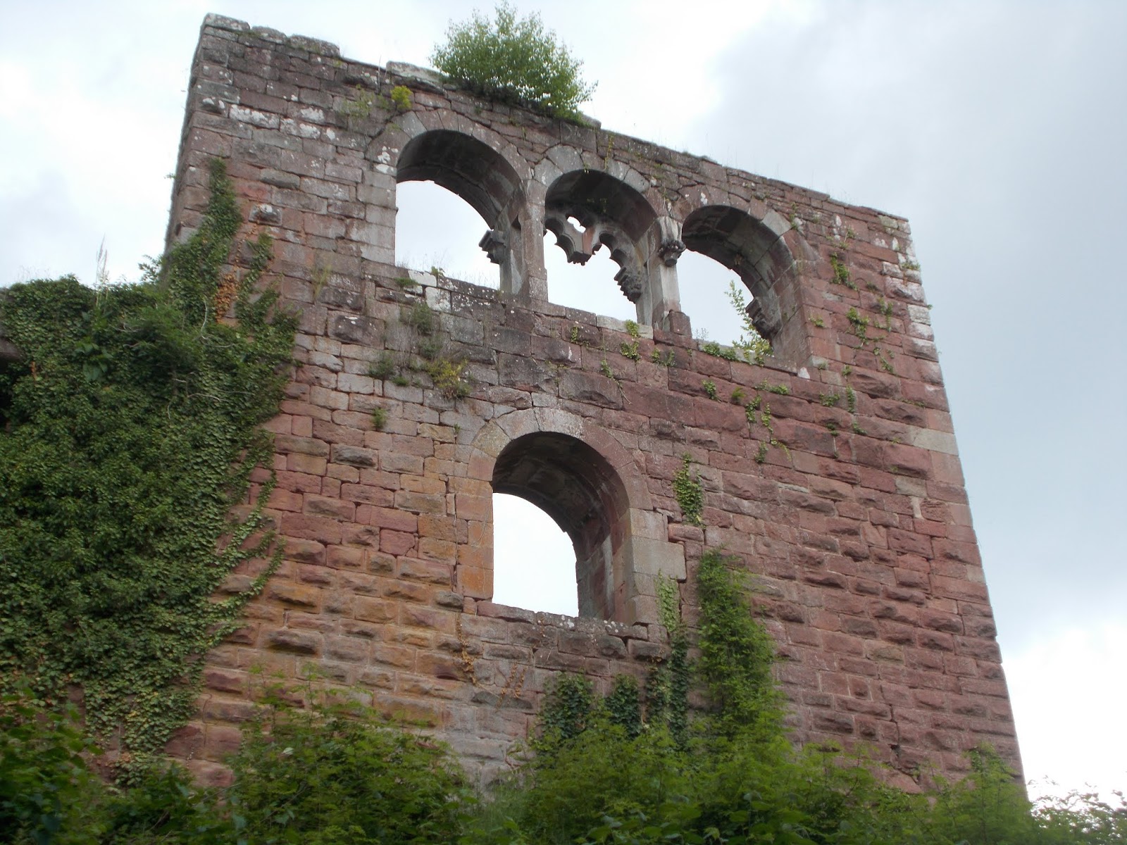
In the 10th century, Amorbach Abbey was severely damaged by invading Magyar troops from Hungary, who took part in what was a consistent wave of invasions across much of Europe during that time. Despite the attack by the Magyars, the abbey continued to prosper, and with the acquisition of relics in the 15th century, began to attract pilgrims. The abbey also did not escape the antics of the infamous Götz von Berlichingen who, during the German Peasants War of 1525, plundered the abbey and destroyed some of its buildings.
A little over a century later in 1632, the abbey was again attacked, this time by Swedes in the Thirty Years War. The monastery was even dissolved for a short time during the war, between 1632 and 1634, when a local landowner took over abbey lands. Like much of the area, Amorbach suffered through a time of poverty and deprivation after the Thirty Years War, and in 1656, Amorbach was transferred into the control of the Archbishopric of Mainz, which oversaw significant building works.
A little over a century later in 1632, the abbey was again attacked, this time by Swedes in the Thirty Years War. The monastery was even dissolved for a short time during the war, between 1632 and 1634, when a local landowner took over abbey lands. Like much of the area, Amorbach suffered through a time of poverty and deprivation after the Thirty Years War, and in 1656, Amorbach was transferred into the control of the Archbishopric of Mainz, which oversaw significant building works.
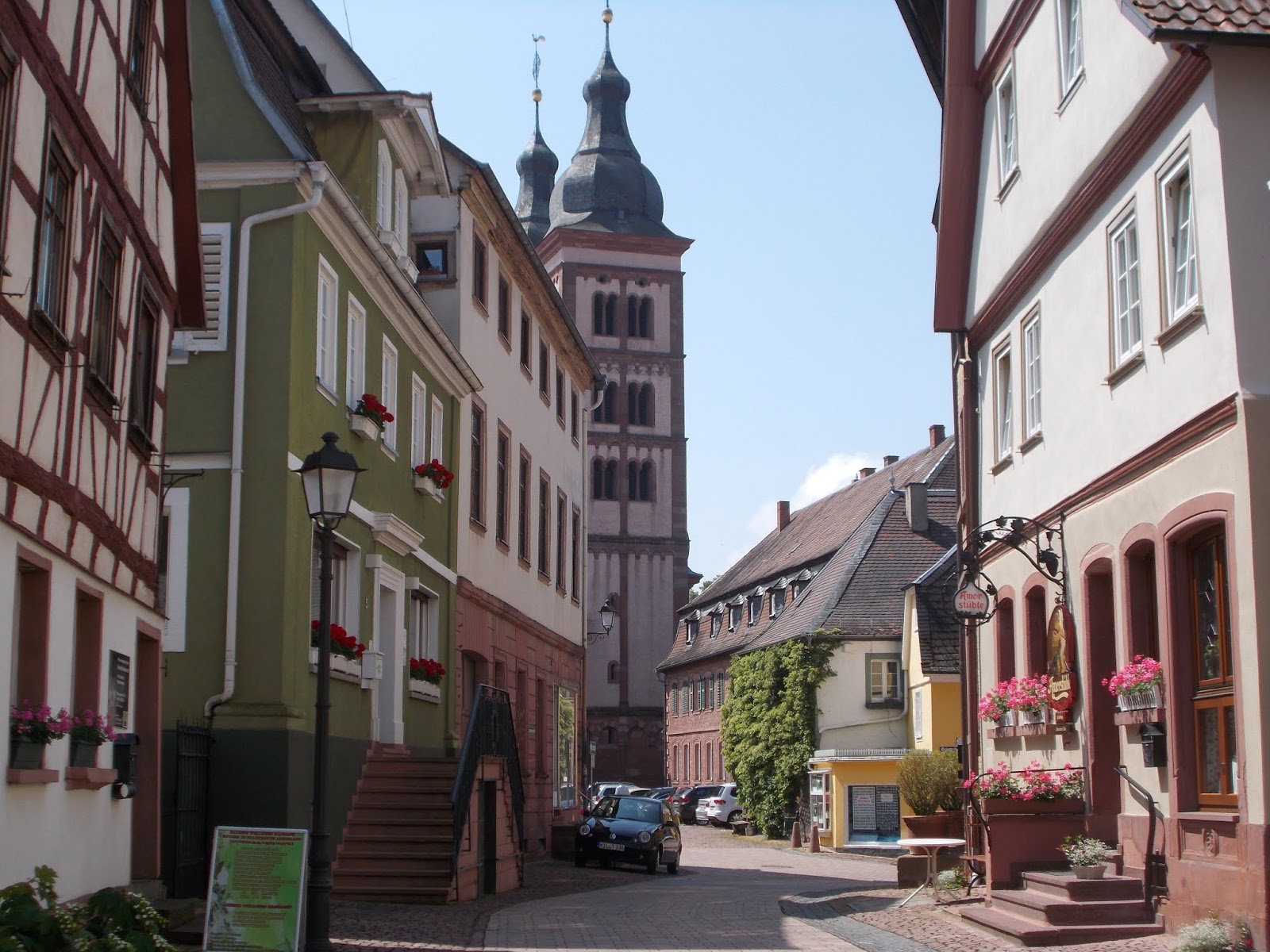 |
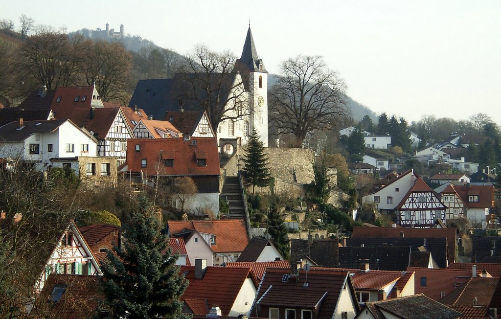
| A View of Amorbach's Old Town |
renovated to include late Baroque and early Rococo features. It was also during that decade that the abbey church was built and later, in the 1780s, further construction and renovations were introduced, including the installation of an organ, which at the time, was the largest in the world.
The latter part of the 18th century and the early 19th century brought an end to religious life at the abbey as a result of the Napoleonic wars. The abbey was dissolved, and it, along with its territorial possessions, were given to the Princes of Leiningen as compensation for territory lost as a result of French actions in 1793, which stripped the family of their territory on the left bank of the Rhine. The abbey church was given to the Protestant parish and the other monastic buildings were converted to a royal residence. Jurisdiction over the abbey and its territories passed to the government of the Kingdom of Bavaria in 1816.
Royal Connections
 |
| Princess Victoria of Saxe-Coburg-Saalfeld By Richard Rothwell - The Royal Collection, Public Domain, https://commons.wikimedia.org/w/index.php?curid=18262477 |
Under the new title, the first Prince of Leiningen was Carl Friedrich Wilhelm, whose son, Emich Carl, 2nd Prince of Leiningen, married Princess Victoria of Saxe-Coburg-Saalfeld.
Fans of British history may recognise this name because Princess Victoria, after the death of Emich Carl, married King George III's fourth son, Prince Edward, Duke of Kent and Strathearn.
Edward's niece, Princess Charlotte of Wales, was the only legitimate grandchild of George III, however, she died 1817, an event which caused a succession crisis for the United Kingdom. This crisis brought pressure on the Duke of Kent and his unmarried brothers to marry and have children. Prince Edward chose Princess Victoria of Saxe-Coburg-Saalfeld, whose brother, Leopold, was Princess Charlotte's widower.
After the couple's marriage, the prince moved to Amorbach to be with his wife, who was serving as regent of the principality of Leiningen on behalf of her young son, Carl. It was while the couple were in Amorbach that Princess Victoria found herself pregnant with the child who would one day become Britain's Queen Victoria, a monarch who would rule over almost a quarter of the Earth’s population. The couple left Amorbach in 1819 to travel to England so that their child would be born in the land she would one day rule.
Things to See
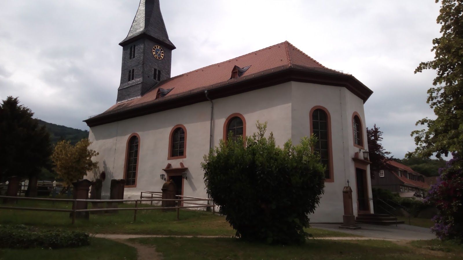
St. Gangolf Church
 |
| St. Gangolf Church |
Abbey Church and Residence Buildings
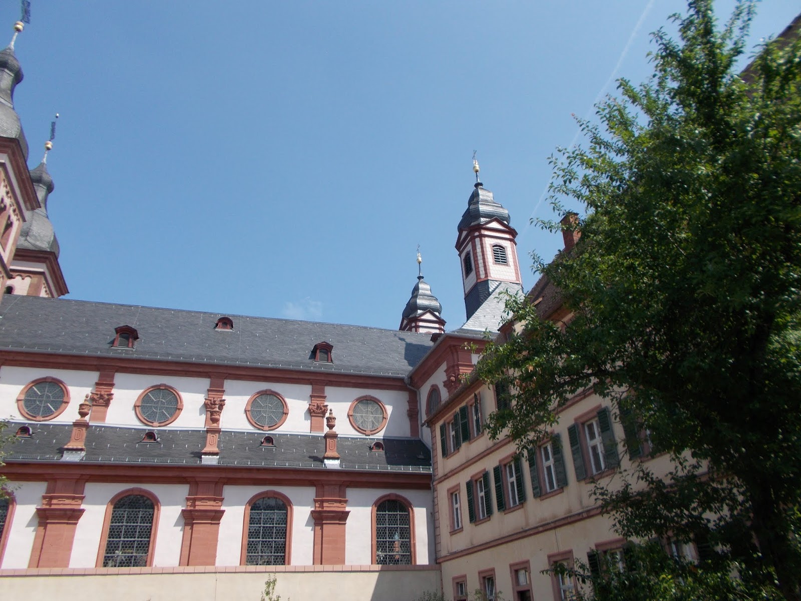
|
| Abbey Church of Amorbach |
 |
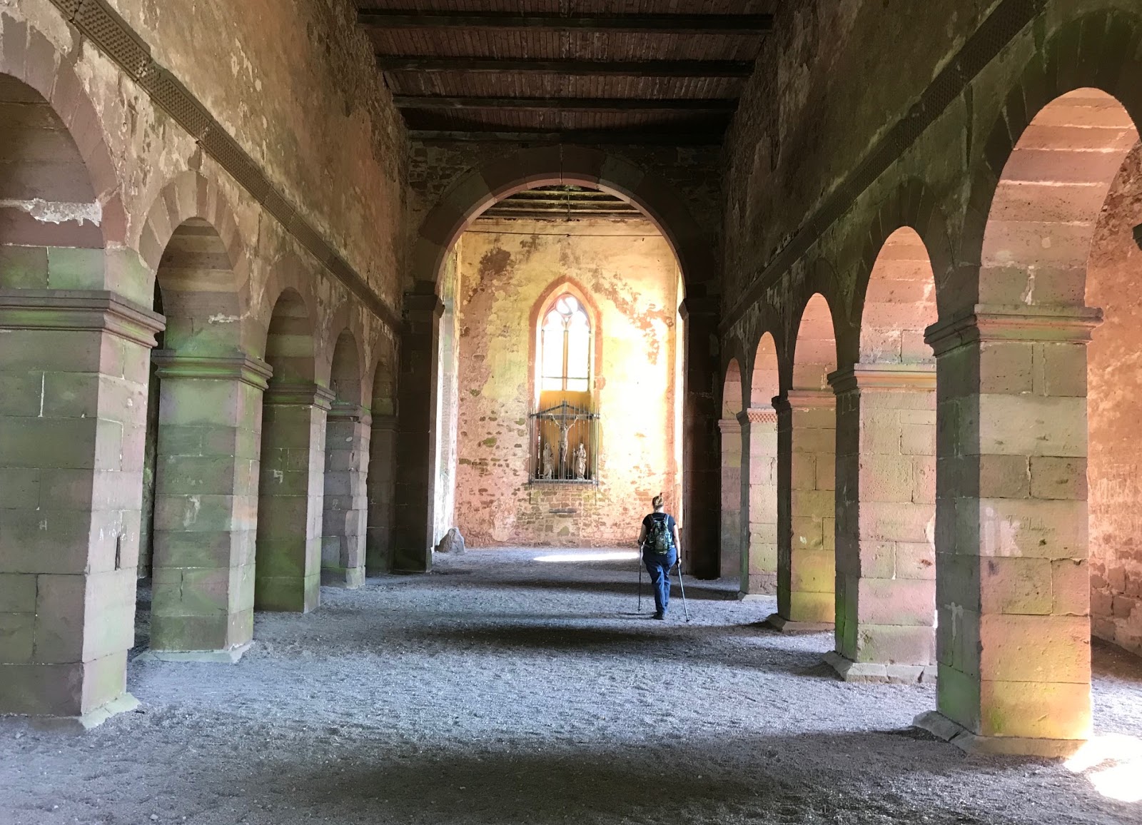
| Interior of the Abbey Church |
The interior of the church features late Baroque/early Rococo stucco work and frescoes by members of the Wessobrunner School, a group of late 17th century stucco-workers who developed in the Wessobrunn Abbey in Bavaria. The side aisles contain altars dedicated to Saint Joseph, Magdalena, Agnes and the Bishops of Verden, among others. The high altar, with its six marble columns, displays a picture of the arrival of Mary in heaven. The impressive wrought-iron choir screen was made between 1748 and 1750 by Marx Gattinger from Würzburg, and the gold-covered pulpit was constructed in 1749 by Johann Wolfgang van der Auvera.
The Organ
Perhaps the most famous feature in the abbey church is its Stumm organ, which was built between 1776 and 1782, by the brothers, Johann Philipp and Johann Heinrich Stumm. The organ is the largest instrument ever built by by the Stumm workshop, which is quite impressive considering the Stumm family built organs for over 200 years.
The Residence
The most notable rooms in the residence, where the Leiningen family still live, are the neoclassical Green Room and the library. In the 17th and 18th centuries, the Green Room was used for large dinners and as a concert venue. The room features unique stucco work by Andreas Dittmann, an attractive musicians' gallery, two 18th century crystal chandeliers and cast-iron ovens, with heraldry emblems of the former abbey.
 |
| Amorbach Residence |
The original library was heavily damaged during both the German Peasant War in 1525 and again during the Swedish occupation of the Thirty Years War between 1632 and 1634. The room you see today was built in the late 18th century by architect Ignaz Neumann in the “Amorbacher Braid Style”, a popular decorative motif during the transition from Rococo to Neoclassical. The abbey library, with its painted ceilings by Konrad Huber, was considered to be one of the most beautiful of its time, and since 1856, has been home to approximately 35,000 books.
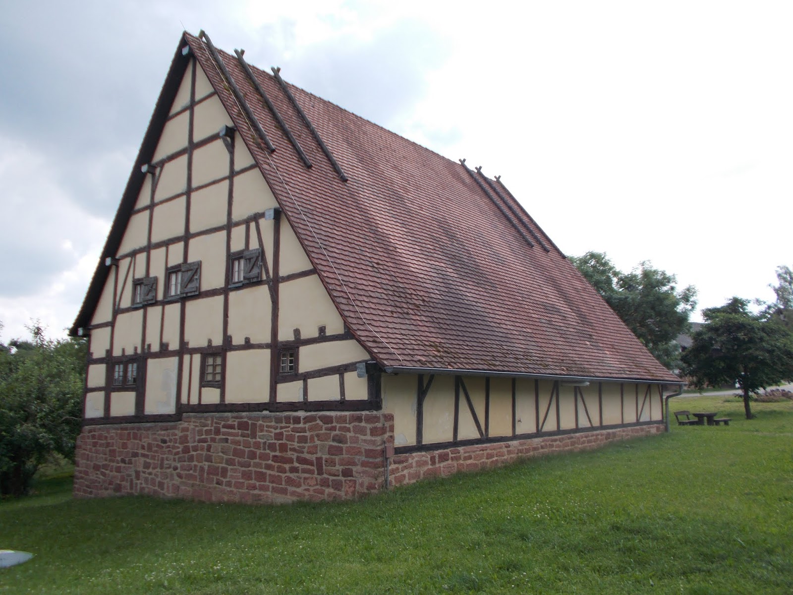
Tithe Barn (Zehntscheuer)
 |
| Amorbach Zehntscheuer |
The Berger Collection and Teapot Museum (Sammlung Berger mit Teekannenmuseum)
The collection houses works by a number of modern artists including Chagall, Yves Klein and Roy Lichtenstein. The teapot museum displays around 2,500 examples of teapots from all over the world.